

On 15 March 2026 historian and author Alan Montgomery presented an account of his exploratory journey by foot, bicycle and car along a road that many of us had never heard of, Dere Street. The trip came about following the success of an earlier journey exploring the Antonine Wall, the Roman fortified structure that extended from the Firth of Forth in the east of Scotland to the Firth of Clyde in the west.
Dere Street starts near present day York, but Alan decided to begin his journey in the Scottish borders and follow the road north to Aberdeenshire on the route taken during the first century invasion of northern Britain by renowned Roman general Gnaeus Julius Agricola. The invasion was described in some detail in a book, now known as The Agricola, written by the general’s son-in-law and historian, Tacitus. In addition to describing the the invasion and the advance deep into north of Caledonia (almost as far as the Moray Firth) Tacitus wrote about Agricola’s talent for the strategic building of forts and fortlets along the route to create a fearsome military zone. Some of the forts were huge and well resourced eg Ardoch near Braco and Inchtuthill which, if the Romans had remained in Britannia, was large enough to have developed into a frontier fortress town, a kind of capital city.
Tacitus also wrote about a final, violent confrontation between the Roman legions and the indigenous people at a place he dubbed Mons Graupius. Ten thousand Caledonians died in the battle whilst only 360 Roman soldiers perished, according to Tacitus’ flattering account of his father-in-law’s exploits. But where is the site of Mons Graupius and how did The Agricola survive from antiquity to the present? Well, the actual site of the battle is a mystery despite Tacitus’ written descriptions of it in his book. Alan outlined the credentials of several sites along the route of Dere Street as potential battle sites, including Woden Law, the Eildon Hills, Dalginross (near Comrie) Raedykes and Bennachie in Aberdeenshire. There is no hard evidence to confirm any of these sites as the definitive one, but Alan seemed to favour Bennachie as the most likely.
During the talk he explained that the naming of the Grampian mountains may have come about because of a transcription error in the copying of manuscripts. Tacitus would have written his manuscript by hand and over time it would have been copied by slaves, and later on by monks, over and over again. Copying mistakes happened and mistakes then became part of the accepted text. It seems that only one copy of The Agricola survived from antiquity into medieval times when it resurfaced in the 1400s in a European monastery. At some point, Mons Graupius appeared in the text as Mons Grampius and so it is easy so it is to extrapolate how the word Grampian came about and how Bennachie might be considered the prime contender for the battle site, even though it does not fit perfectly with Tacitus’ descriptions of the battle’s geography.
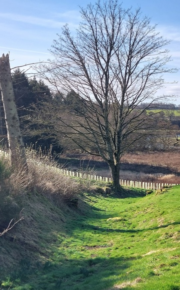
Wherever Agricola took his final stand against the Caledonians, the Roman legions departed from Britannia soon after and in haste, possibly to fight in other regions of the empire. But no-one knows for certain. The emperor of the time, Domitian, may just have decided that the cost of occupying Britannia was too high for very little economic return. Whatever the reason, the legionaries would have marched south along Dere Street, a route which may have led them across the River Earn at Innerpeffray. The depression in the land we see today on our heritage trail is believed to be the remains of a Roman road. Our own little section of Dere Street?
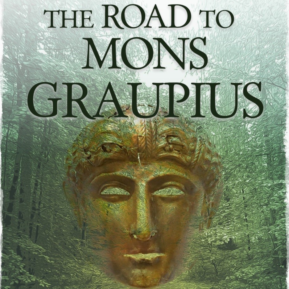
Images via Google images and courtesy of Library of Innerpeffray volunteer (SW). Alan Montgomery’s book ‘The Road to Mons Graupius‘ is available for purchase from the Library of Innerpeffray gift shop.